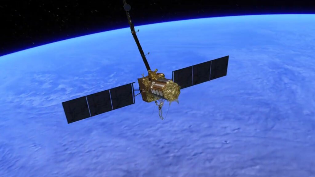
The Indian Space Research Organization (ISRO) and the United States’ National Aeronautics and Space Administration (NASA) successfully launched the NISAR satellite on Wednesday — a powerful Earth-mapping satellite designed to monitor even the tiniest changes in the Earth’s surface.
The NASA-ISRO Synthetic Aperture Radar (NISAR) satellite is expected to play a vital role in tracking geological and environmental shifts. The joint mission aims to provide high-resolution data about changes in land, water bodies, and ice sheets, which could aid scientists in understanding climate-related phenomena and disaster risks more effectively.
According to Mark Simons, the mission’s geoscience leader, the satellite is not designed to predict earthquakes, but it can help identify regions that are most vulnerable to seismic activity. By detecting millimeter-level changes on the Earth’s surface, the satellite enhances global knowledge of tectonic movement and natural hazard susceptibility.
The NISAR mission marks a major step forward in international space collaboration and the use of advanced radar technology for planetary observation. It is expected to support research in various fields, including earthquakes, landslides, glaciers, deforestation, and agricultural productivity.